Deschutes River
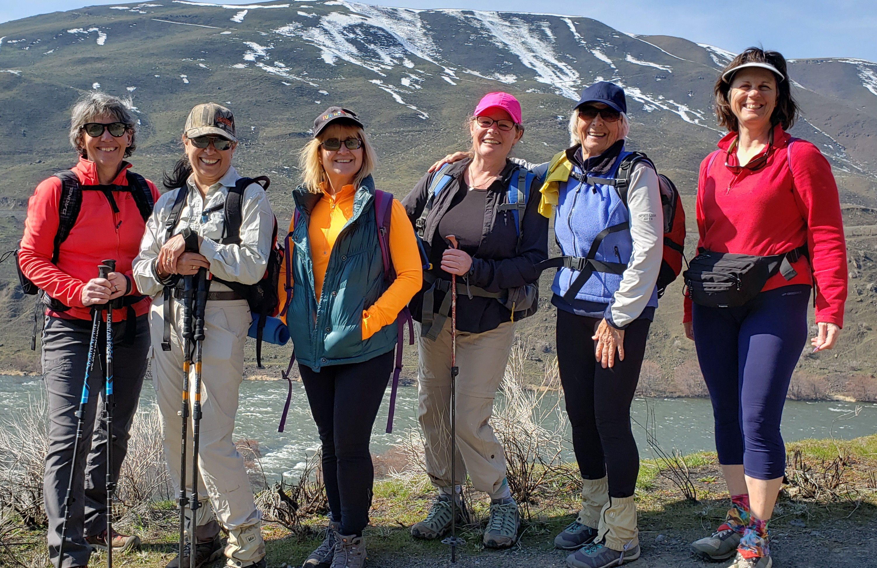 The Deschutes River is a multi use area - you will see backpackers in the early spring, day hikers, fishermen, and mountain bikers. The Deschutes River had a wildfire in 2018 but is quickly recovering from the burned areas. Take either the river trail or the gravel road. Look for a variety of birds nearer the entrance, and keep an eagle eye out for river otters. They are so cute! There are concrete outhouses about every 2.5 miles. They are clean and usually have TP. There is a fee for overnighters but parking is free for day hikers.
Category: Gorge
6 years ago