Laurance Lake High Ridge Trail
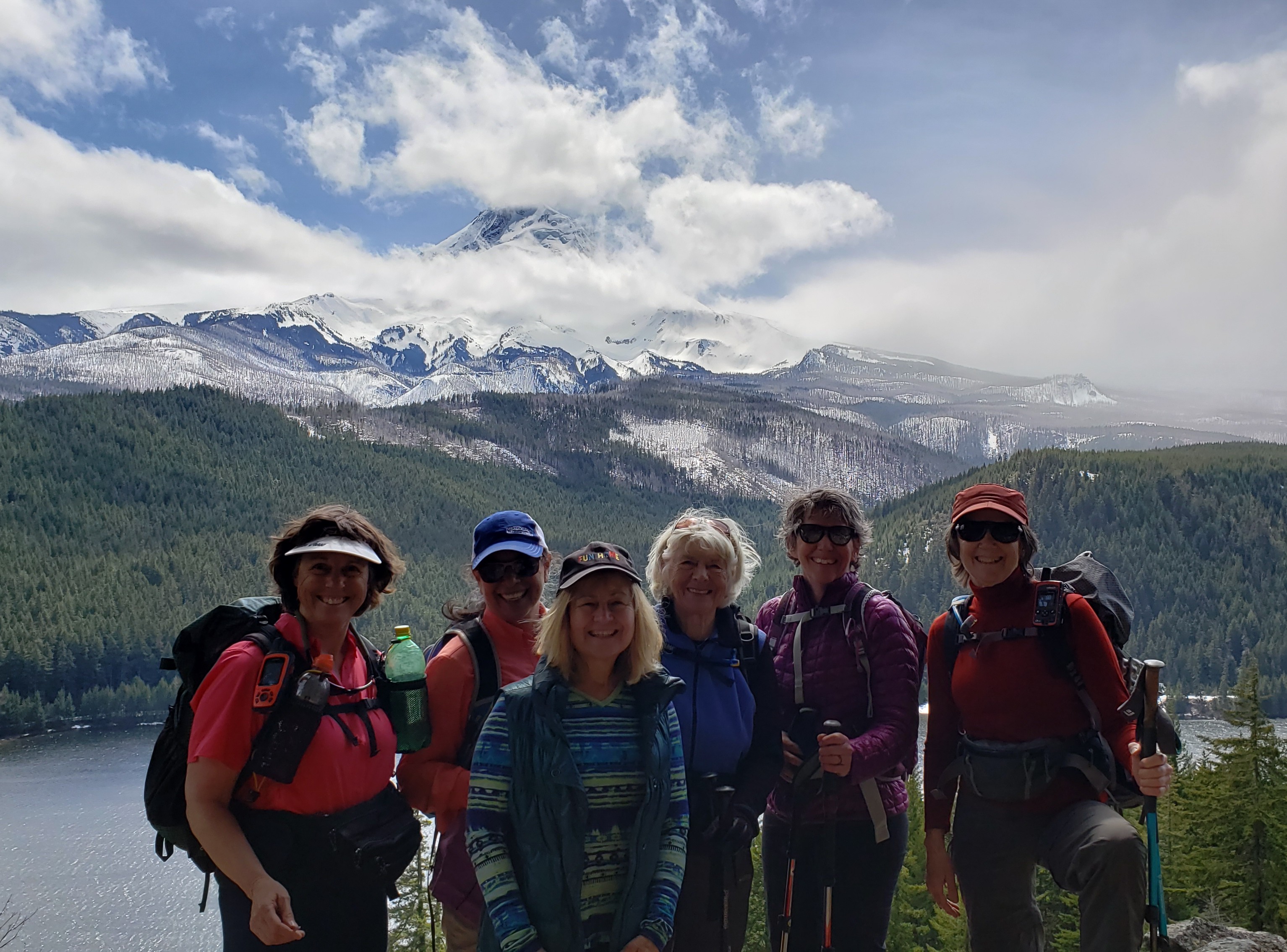 The Laurance Lake High Ridge Trail has multiple views of the reservior with Mt Hood floating above it. Cross over the dam to the north side and locate the trail off to the right. This hike has many switchbacks leading up to the rim. It is a beautiful hike in the fall with the red, yellow, orange leaves hanging over your heads. Note: This area is very busy on summer weekends due to a local campground nearby.
The Elk Cove trailhead is also nearby and requires a Northwest Forest Pass.
Category: Mt Hood
6 years ago