Upper Twin Lakes
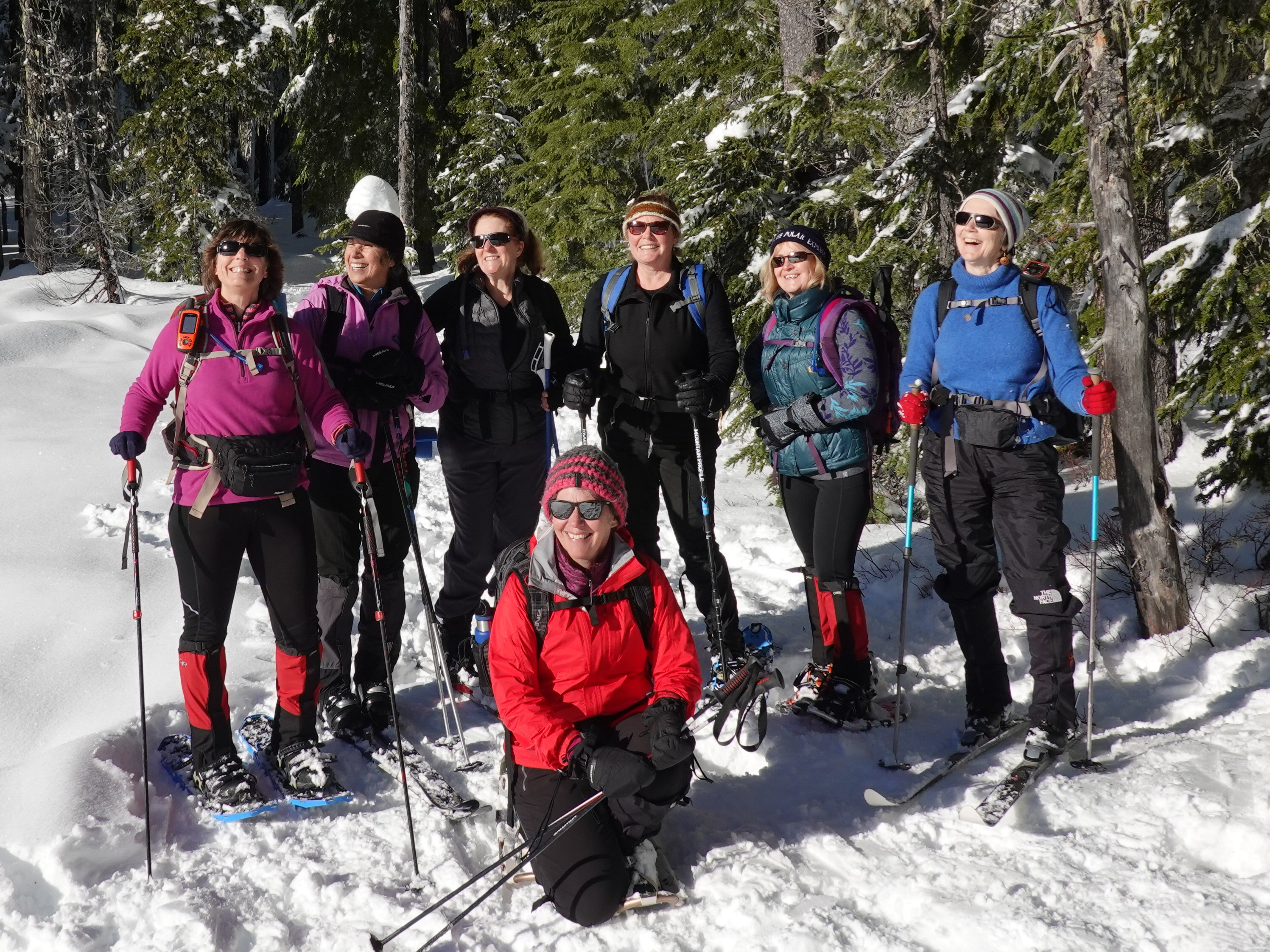 Upper Twin Lakes can be reached either by Hwy 35 at Barlow Pass Snopark or off of Hwy 26. This route starts at the Barlow Pass Snowpark. Get there early if you want a place to park your car. It's a very popular place for skiing and snowshoeing. Find the trailhead in wintertime can be a little confusing. It actually starts on the Pacific Crest Trail and goes south, so find the PCT emblem and you will be set to go. On this trip we traveled counterclockwise and on the way back, we took the tie trail back up to the main trail to the car. When you arrive at Upper Twin Lakes, be extra careful you don't get too close to the lake and fall in. 7.45 miles round trip.
Category: Mt Hood
7 years ago