Boy Scout Ridge on Mt Hood
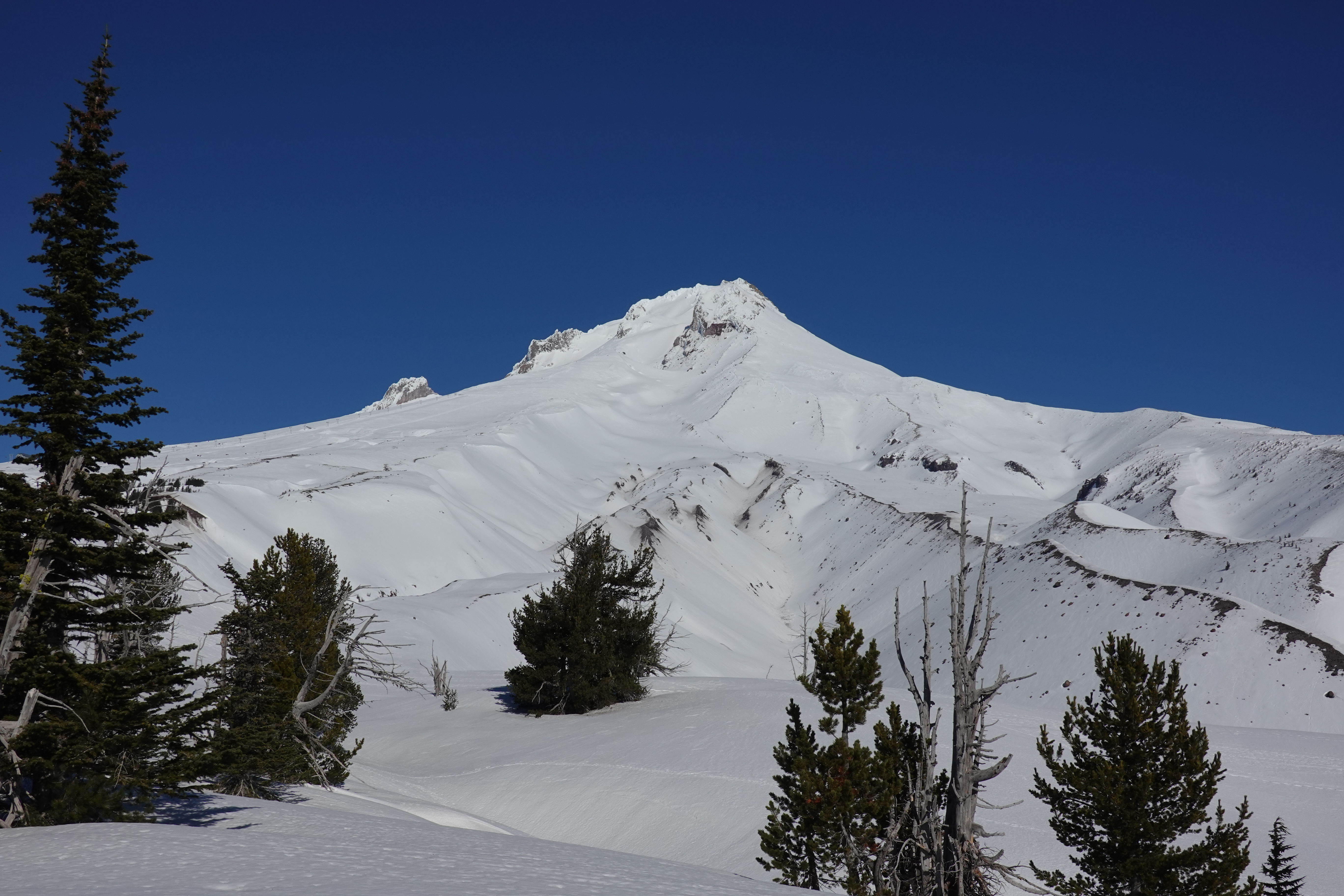 There are a few ways to get to Boy Scout Ridge, this six mile round trip route starts at the White River Snopark and winds its way clockwise through the forest up to the ridge. It is strongly advised to have strong navigational skills and gear in the wintertime to navigate to the top. On blue bird days the views from the top are fantastic. If you want to continue on the loop, find the Timberline Trail that leads down to the White River and then find the trail south back to the Snopark.
Category: Mt Hood
7 years ago