Dusty Devas

It's All About Having Fun!

Eight Mile Trail


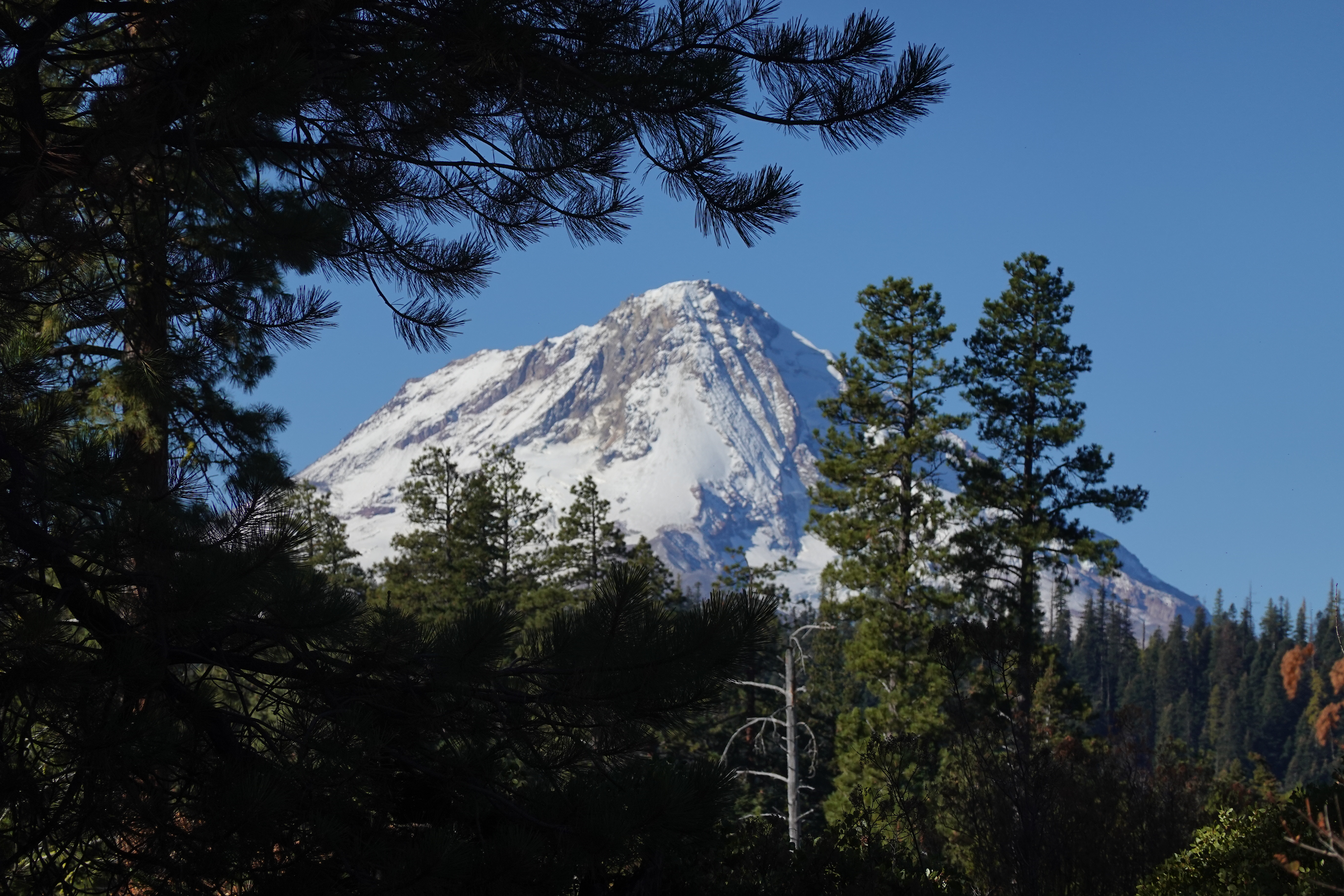
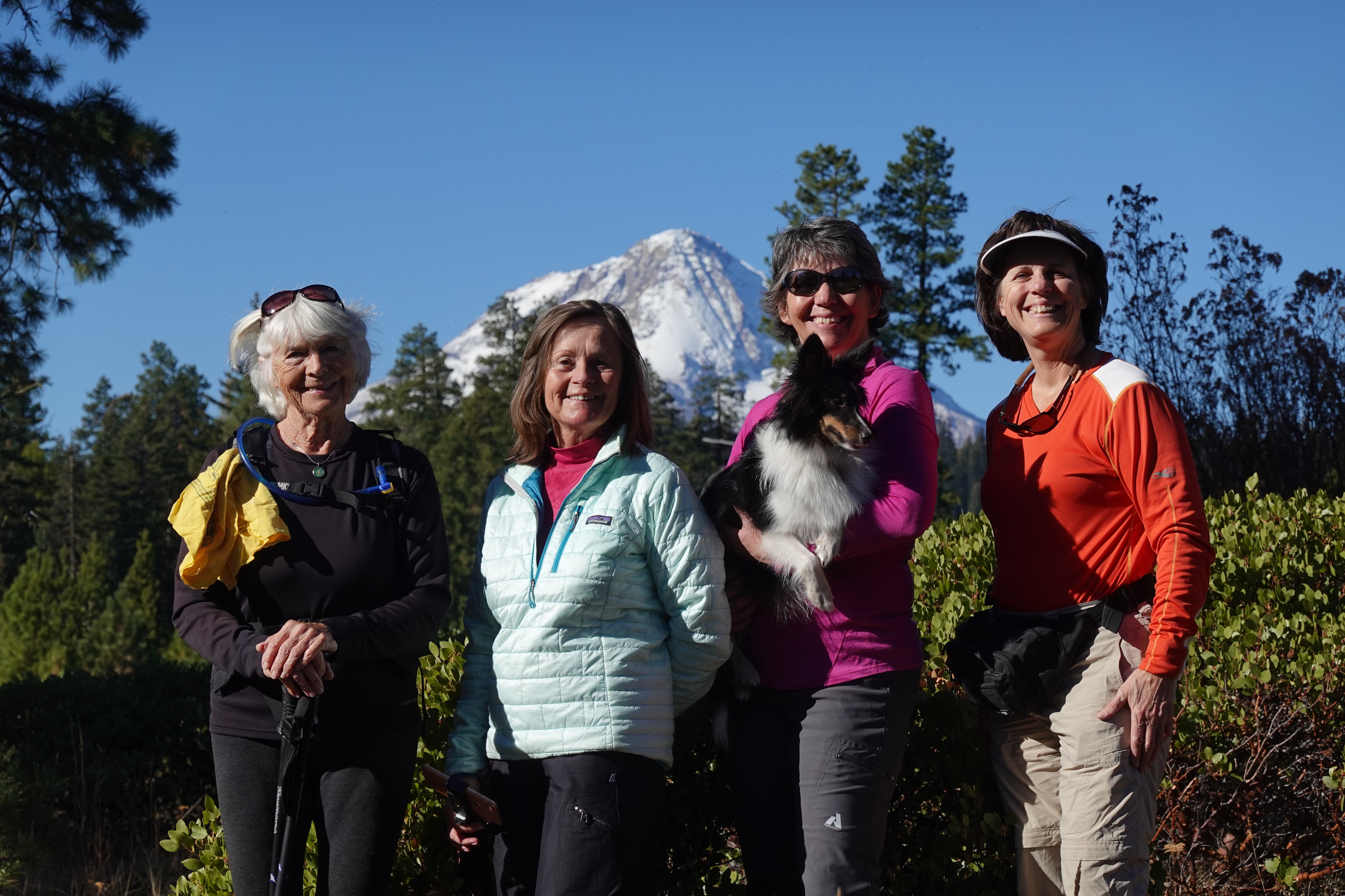
Eight Mile Trail is located off of Forest Road 44 (off of Highway 35) and is a heavily used mountain bike trail. There are several access points to the trail, either from the hard-to-locate small parking area, or from Eight Mile Campground, or from Knebal Springs. Parking at the Eight Mile Campground Day Use Area will require a Northwest Forest Pass or pay a parking fee. You will see fewer mountain bikers if you hike this trail during the week. Or ride this trail! One fun side trip is to the Five Mile Butte Lookout Tower (good potty stop for the outhouse) with a view of Mt Hood. Go in early spring once the snow melts off for beautiful wildflowers.

Category: Mt Hood 7 years ago

Min Elevation
3919 ft
Total Distance
6.47 Miles
Max Elevation
4767 ft
Total Time
2h 30m 50s
Total Elevation Gain
1146 ft
Way Points
0
Total Elevation Loss
1150 ft
Track Points
1372
Max Speed
8.28 mile/hr
Route Points
0
Average Speed
2.57 mile/hr
Values not available in the file may shown as 0.
This track was downloaded 0 time(s). Please register/login to download this track.
Please wait while loading suggestions..
google
640px
http://{s}.tile.openstreetmap.org/{z}/{x}/{y}.png
© OpenStreetMap contributors
Distance: {0} {2} Elevation: {1}
Distance: {0} {2} Speed: {1}
Distance: {0} {2} Heart Rate: {1}
Distance: {0} {2} Cadence: {1}
https://www.dustydevas.org/media/com_gpstools/markers/02marker.png
https://www.dustydevas.org/media/com_gpstools/markers/default.png
#0000FF
#0000FF,#c1392b,#ffbe00,#2d3e50,#27ae61,#74065f,#2998d8
0
2
50
google.maps.MapTypeId.TERRAIN
1
1
1
1
1
1
1
google.maps.ZoomControlStyle.DEFAULT
google.maps.MapTypeControlStyle.DEFAULT
Distance
Elevation
Speed
Heart Rate
mi
mph
ft
km
Miles
m
ft
mile/hr
ft/sec
km/hr
m/s
/index.php?option=com_gpstools&task=rating.rate&id=35&format=json

Copyright 2023 ~ Dusty Devas (you go girls!) ~ All Rights Reserved
Based in Hood River, Oregon